SPECIAL WEATHER STATEMENT
ENVIRONMENT CANADA
*************************
Severe thunderstorm watch issued for:
- Sault Ste. Marie - St. Joseph Island
- Searchmont - Montreal River Harbour - Batchawana Bay
- Wawa - White River - Pukaskwa
- Agawa - Lake Superior Park
Current details:
Conditions are favourable for the development of severe thunderstorms that may be capable of producing strong wind gusts and large hail.
Isolated thunderstorms are expected to affect portions of Northern Ontario today. Some of these thunderstorms may produce locally damaging wind gusts and large hail.
Large hail can damage property and cause injury. Remember, severe thunderstorms can produce tornadoes.
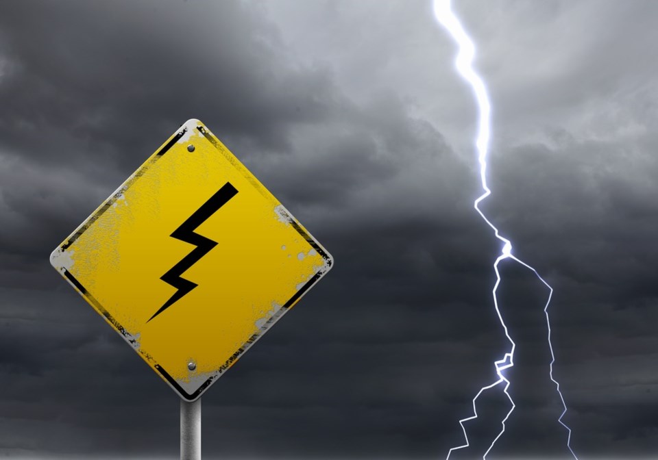
Lightning kills and injures Canadians every year. Remember, when thunder roars, go indoors!
The Office of the Fire Marshal and Emergency Management recommends that you take cover immediately if threatening weather approaches.
Severe thunderstorm watch in effect
Severe thunderstorm watches are issued when atmospheric conditions are favourable for the development of thunderstorms that could produce one or more of the following: large hail, damaging winds, torrential rainfall.
Please continue to monitor alerts and forecasts issued by Environment Canada. To report severe weather, send an email to [email protected] or tweet reports to #ONStorm.
For more information: http://www.emergencymanagementontario.ca/english/beprepared/beprepared.html.
*************************