WEATHER ALERT
ENVIRONMENT CANADA
*************************
Snow Squall Warning in effect for:
- Sault Ste. Marie - St. Joseph Island
- Searchmont - Montreal River Harbour - Batchawana Bay
- Agawa - Lake Superior Park
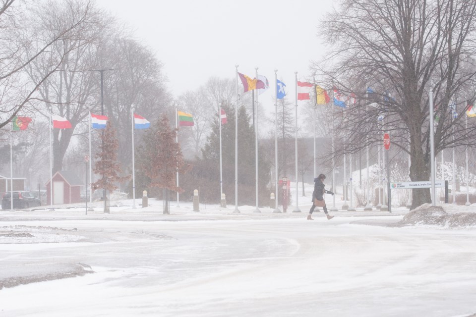
Snow squalls continuing today.
What: Additional snowfall accumulations of 10 to 25 cm. Reduced visibility in heavy snow and blowing snow.
When: Continuing today and tonight.
Additional information: Lake effect snow squalls will continue east of Lake Superior today and tonight, but are expected to shift north of Sault Ste. Marie near noon today. Snow squalls cause weather conditions to vary considerably; changes from clear skies to heavy snow within just a few kilometres are common. Visibility will be suddenly reduced to near zero at times in heavy snow and blowing snow.
Travel is expected to be hazardous due to reduced visibility in some locations. Road closures are possible. If visibility is reduced while driving, slow down, watch for tail lights ahead and be prepared to stop.
Please continue to monitor alerts and forecasts issued by Environment Canada. To report severe weather, send an email to [email protected] or tweet reports using #ONStorm.
*************************