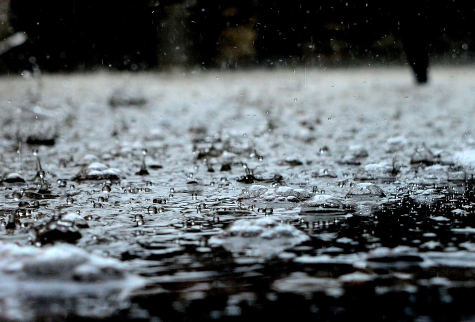
A forecasted 15-25 mm of rain mixed with mild temperatures this week could cause localized flooding in low-lying areas, the Sault Ste. Marie Region Conservation Authority (SSMRCA) warns in a flood outlook statement issued today.
Current snowpack measurements indicate snow depths between 80 and 168 cm, with an average water equivalent ranging from 80 to 205 mm. This is significantly higher than the long-term average for this time of year, which could lead to above-normal runoff due to the frozen ground's reduced capacity to absorb rainfall.
"With the anticipated warm temperatures, moderate runoff is expected, which may cause a slight rise in river, creek, and stream levels across the watershed," the statement says. "Although stream flows are currently at normal levels, there is a potential for localized flooding in low-lying areas and pooling of water on roads. Flood control channels managed by the SSMRCA are functioning at normal levels, though water levels in these areas are expected to rise.
It is crucial to note that the water in all rivers, streams, and flood control channels will be cold and fast flowing during and after this event."
For more information, see the press release below.
The Sault Ste. Marie Region Conservation Authority (SSMRCA) is issuing a flood outlook statement to inform residents of current watershed conditions. Flood forecasting and warnings are a key part of the SSMRCA’s provincially mandated responsibilities, and this statement aims to raise awareness of potential flooding risks in the region.
The current weather forecast predicts rainfall amounts ranging from 15 to 25 mm, and mild temperatures throughout tonight and into Wednesday. There remains some uncertainty regarding the precise amount of rainfall, as a rain-snow transition zone is expected to develop across the watershed. Should this zone shift further north, rainfall amounts may increase.
Current snowpack measurements indicate snow depths between 80 and 168 cm, with an average water equivalent ranging from 80 to 205 mm. These figures are significantly higher than the long-term average for this time of year, which could lead to above-normal runoff due to the frozen ground's reduced capacity to absorb rainfall.
With the anticipated warm temperatures, moderate runoff is expected, which may cause a slight rise in river, creek, and stream levels across the watershed. Although stream flows are currently at normal levels, there is a potential for localized flooding in low-lying areas and pooling of water on roads. Flood control channels managed by the SSMRCA are functioning at normal levels, though water levels in these areas are expected to rise.
It is crucial to note that the water in all rivers, streams, and flood control channels will be cold and fast flowing during and after this event. The SSMRCA will continue to monitor stream levels and flows throughout the watershed and will provide updates as new information becomes available.
Residents and visitors are strongly urged to avoid flood control channels and all waterways. High water levels present significant hazards, and it is particularly important to keep children and pets at a safe distance from these areas.
This statement is in effect until March 10.