Even though we're into March the "real Canadian winter" is continuing for Sault Ste. Marie and area as Environment Canada has issued a winter storm watch for the next few days.
The national weather service says a winter storm is possible Tuesday evening into Thursday with total snowfall amounts of 20 to 30 cm possible along with a risk of freezing rain.
Blowing and drifting snow in 50 km/h winds is also possible.
The storm will intensify Tuesday evening and diminish into Thursday, Environment Canada says.
The current weather forecast has temperatures climbing above the freezing mark on Tuesday and Wednesday before dropping on Thursday.
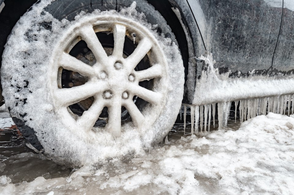
Motorists are being urged to avoid travel if possible.
"Periods of light snow or rain, possibly mixed with freezing rain, will begin Tuesday and intensify Tuesday evening," Environment Canada says.
"Current indications suggest that the rain-snow transition line will stretch from north of Sault Ste. Marie northeast to Temiskaming shores."
"Along this transition line, there is a risk freezing rain on Wednesday. North of the transition line, accumulating snow can be expected."
"The track of the low pressure system responsible is still somewhat uncertain which will affect exact snowfall amounts and precipitation types."
Environment Canada notes that rapidly accumulating snow could make travel difficult over some locations.
"Surfaces such as highways, roads, walkways and parking lots may become icy and slippery. Poor weather conditions may contribute to transportation delays."
The winter storm watch is in effect for:
Searchmont - Montreal River Harbour - Batchawana Bay
Sault Ste. Marie - St. Joseph Island
Greater Sudbury and vicinity
Elliot Lake - Ranger Lake
Temiskaming Shores - Temagami
Manitouwadge - Hornepayne
Wawa - White River - Pukaskwa
Agawa - Lake Superior Park
Kapuskasing - Hearst - Smooth Rock Falls
Timmins - Cochrane - Iroquois Falls
Chapleau - Gogama
Kirkland Lake - Englehart