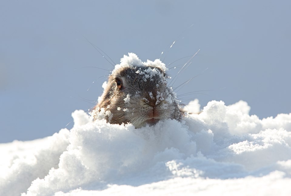
The odds are that Wiarton Willie will emerge from his den Saturday morning and see clouds with light snow. Lore suggests that this means a quick start to spring - which would be a nice thought considering the harsh cold of late. If this is the outcome tomorrow then it will fly in the face of most long-range forecasts that suggest the cold conditions could hang on into the middle of March.
We will see a warming trend start this weekend with temperatures taking a run at the freezing mark on Sunday. With this warmer weather comes the leading edge of a potentially large winter storm. Details are still tough to determine this far out, but everything from heavy snow, to freezing rain to heavy rain could be in the cards with this storm on Monday.
It sounds funny to say, but Friday will be warmer as daytime highs climb to near -11°C under mainly sunny skies. Clouds do move in later this afternoon, and snow falls this evening and overnight to bring 5-10cm by Saturday morning.
Cloud cover lingers on Saturday, but the heat just keeps on coming as temperatures climb to near -4°C. The clouds and a southeasterly wind will keep overnight lows above -10°C for the first time in many many nights.
The warmer than normal temperatures continue into Sunday with flurries and patchy freezing rain moving into the region ahead of that aforementioned winter storm. Daytime highs could climb up to near 2°C.
Monday will be a mess with potentially high impact weather for the Sault region. Stay tuned to SooToday's weather discussion this weekend for more details on the incoming storm system.
