The unseasonably warm weather the city has seen this week is expected to continue – after a brief cold snap over the weekend – said a meteorologist from Environment and Climate Change Canada.
“We've certainly been milder than normal since last Saturday, after seeing much more seasonal temperatures for much of the month of February,” said meteorologist Geoff Coulson.
He said the cold spell is expected to bring light snow to the city Thursday morning, with the potential for freezing rain overnight, and an estimated 10 to 15 centimetres of snow over Friday.
“A bit of a shift in the temperature pattern is expected to start Thursday night and continue into the weekend, but then the longer range forecast is already indicating a return to milder than normal conditions to start off the work week next week.”
Despite the warm weather, this has been the snowiest February since 2019, Coulson said, with 72 centimetres accumulated to date, versus a long-term average of 58.7 centimetres, with more expected to come before the month is over.
In February 2019, the city saw 115.5 centimetres of snow.
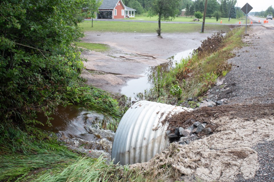
With the warmer weather this month, last week the Sault Ste. Marie Region Conservation Authority warned of the potential for flooding in low-lying areas in a water safety statement that’s active until Feb. 28.
On Feb. 21, the conservation authority reported snowpack measurements with a snow depth ranging from 75 to 195 cm and an average water equivalent of 80 to 205 mm.
Those figures are “significantly higher than the long-term average for this time of year and may result in increased runoff above normal levels during the forecast event,” the organization said in a press release.
“Water in all rivers, streams, and flood control channels will be cold and fast flowing. Residents and visitors are strongly urged to stay clear of flood control channels and all waterways,” the release said.
“High water levels pose significant hazards, and it is particularly important to keep children and pets at a safe distance from these areas.”