WEATHER ALERT
ENVIRONMENT CANADA
*************************
Winter storm warning replaces winter storm watch for:
- Manitouwadge - Hornepayne
- Wawa - White River - Pukaskwa
- Agawa - Lake Superior Park
- Searchmont - Montreal River Harbour - Batchawana Bay,
- Kapuskasing - Hearst - Smooth Rock Falls
- Timmins - Cochrane - Iroquois Falls
- Chapleau - Missinaibi Lake
- Gogama - Foleyet
- Kirkland Lake - Englehart
Current details:
Winter storm tonight into Thursday.
What:
Total snowfall amounts of 20 to 30 cm.
Peak snowfall rates of 2 to 4 cm per hour.
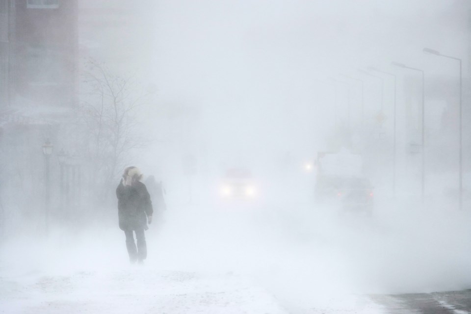
Poor visibility in heavy snow and local blowing snow.
When:
Beginning this evening and diminishing late Thursday.
Additional information:
A winter storm will affect much of northeastern Ontario. Northerly winds gusting to 50 km/h will result in areas of blowing snow giving reduced visibility. The snow is expected to taper to flurries late Thursday.
Surfaces such as highways, roads, walkways and parking lots may become difficult to navigate due to accumulating snow. Visibility may be suddenly reduced at times in heavy snow.
Consider postponing non-essential travel until conditions improve.
Please continue to monitor alerts and forecasts issued by Environment Canada. To report severe weather, send an email to [email protected] or post reports on X using #ONStorm.
*************************