WEATHER ALERT
ENVIRONMENT CANADA
*************************
Snowfall warning in effect for:
- Sault Ste. Marie - St. Joseph Island
Hazards:
Total snowfall amounts of 15 cm.
Ice pellets mixed in with snow.
Reduced visibility due to snow and blowing snow.
Timing:
Now continuing through Tuesday and into Wednesday morning.
Discussion:
Snow and ice pellets are expected to persist until Wednesday morning, with the heaviest precipitation expected Tuesday morning and Tuesday night into Wednesday morning.
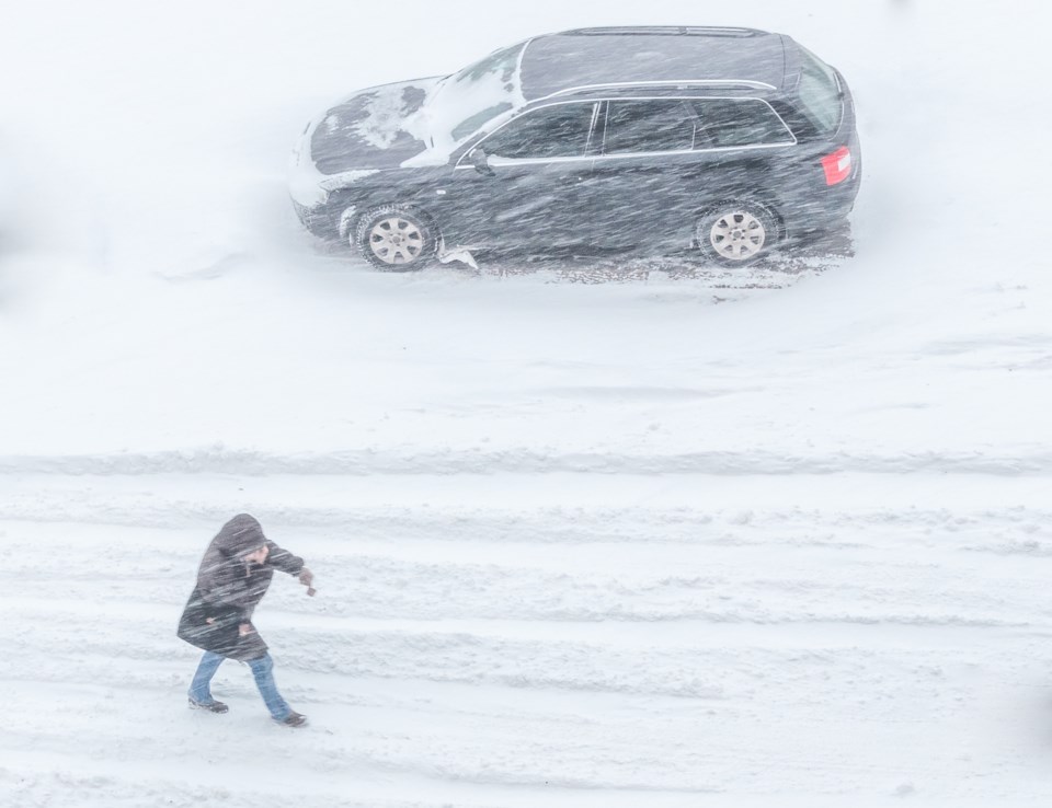
Be prepared to adjust your driving with changing road conditions. Visibility may be suddenly reduced at times in heavy snow. Surfaces such as highways, roads, walkways and parking lots may become difficult to navigate due to accumulating snow.
Please continue to monitor alerts and forecasts issued by Environment Canada. To report severe weather, send an email to [email protected] or tweet reports using #ONStorm.
*****
Winter storm warning in effect for:
- Agawa - Lake Superior Park
- Searchmont - Montreal River Harbour - Batchawana Bay
Significant snowfall is expected tonight through Wednesday morning.
Hazards:
Total snowfall amounts of 15 to 25 cm.
Reduced visibility due to heavy snow and blowing snow.
Timing:
Tonight continuing through Tuesday and into Wednesday morning.
Discussion:
A long lasting snowfall is expected to begin this evening. Snow is expected to persist until Wednesday morning. A general snowfall of 15 to 25 cm is likely. The heaviest snow is expected Tuesday morning and Tuesday night into Wednesday morning.
Blowing snow may also accompany the snow leading to reduced visibility, particularly on Tuesday and Tuesday night.
Surfaces such as highways, roads, walkways and parking lots may become difficult to navigate due to accumulating snow. Visibility may be suddenly reduced at times in heavy snow. Take extra care when walking or driving in affected areas. If visibility is reduced while driving, turn on your lights and maintain a safe following distance.
Please continue to monitor alerts and forecasts issued by Environment Canada. To report severe weather, send an email to [email protected] or tweet reports using #ONStorm.
*****
Weather advisory in effect for:
- Wawa - Pukaskwa Park
- White River - Dubreuilville
Winter weather travel advisory in effect.
Hazards:
Total snowfall accumulations of around 10 cm.
Reduced visibility in blowing snow.
Timing:
Now continuing through Tuesday and into Wednesday morning.
Discussion:
The heaviest snow is expected Tuesday night.
Motorists should expect hazardous winter driving conditions and adjust travel plans accordingly. Be prepared to adjust your driving with changing road conditions. Visibility may be suddenly reduced at times in heavy snow.
For road conditions and other traveller information from the Ministry of Transportation, visit https://www.ontario.ca/511, https://www.twitter.com/511Ontario, or call 5-1-1.
Please continue to monitor alerts and forecasts issued by Environment Canada. To report severe weather, send an email to [email protected] or tweet reports using #ONStorm.
*************************