WEATHER ALERT
ENVIRONMENT CANADA
***********************
Snow squall warning replaces snow squall watch for:
Searchmont - Montreal River Harbour - Batchawana Bay, Ont. (048820)
Sault Ste. Marie - St. Joseph Island, Ont. (048830)
Current details:
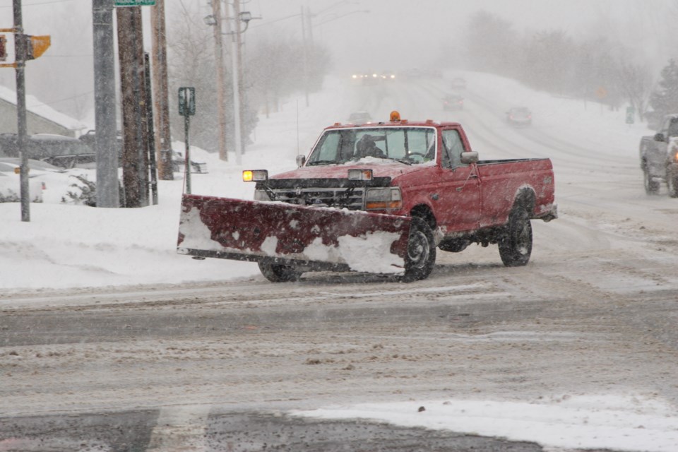
Snow squalls are occurring. Under the snow squall bands, visibilities will be significantly reduced due to the heavy snow, and snow will quickly accumulate.
What:
Total local snowfall accumulations of 20 to 40 cm.
Peak snowfall rates of 2 to 5 cm per hour are possible.
Poor to near zero visibility in snow and local blowing snow.
When:
Now through Monday.
Additional information:
Lake effect snow squalls off Lake Superior are expected to continue into Monday and possibly into early Tuesday morning. These snow squalls may shift north of Sault Ste. Marie this evening and remain over Batchawana Bay area for several hours tonight, before spreading into the Sault Ste. Marie area again Monday morning.
Snow squalls cause weather conditions to vary considerably; changes from clear skies to heavy snow within just a few kilometres are common. Travel is expected to be hazardous due to reduced visibility in some locations. Rapidly accumulating snow could make travel difficult over some locations.
If visibility is reduced while driving, slow down, watch for tail lights ahead and be prepared to stop.
Please continue to monitor alerts and forecasts issued by Environment Canada. To report severe weather, send an email to [email protected] or tweet reports using #ONStorm.
More details on the alert are available here.
***********************