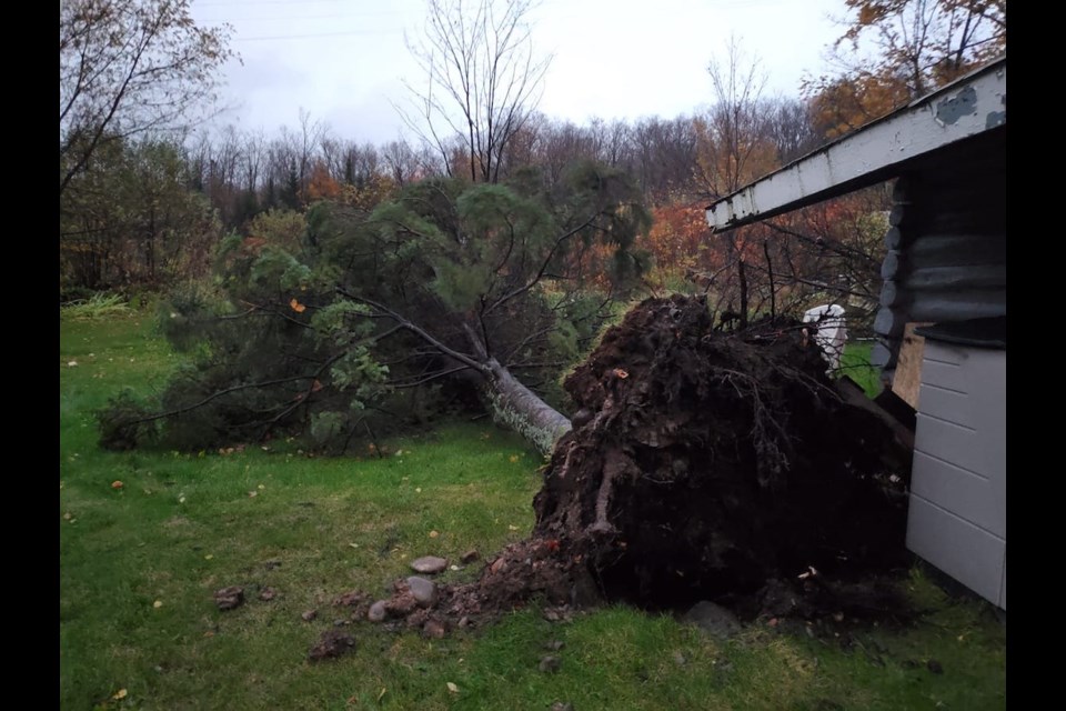
Environment Canada is gathering weather data after receiving reports of waterspouts forming on Lake Superior Tuesday night.
Meteorologist Gerald Cheng tells SooToday that waterspouts were reported between Batchawana Bay and Jones Landing.
“In retrospect, they did look at the radar and it did show a signature that could suggest there was rotation with the thunderstorm that was passing through,” Cheng said.
Environment Canada is now trying to see if there's a connection between the radar signature and reports of waterspouts.
The weather service says there are two types of waterspouts - a "tornado over water" that's associated with thunderstorm activity, and another type of waterspout that typically occurs in the early fall when cooler air meets warm waters.
SooToday received the following video from reader Dustin Graham, shot as the storm approached his home in Old Mill Bay.
