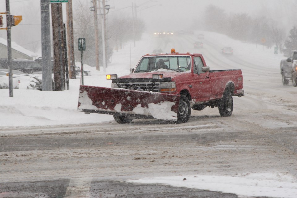
A winter weather travel advisory is in effect for Sault Ste. Marie Sunday night.
Environment Canada says snow squalls are expected to impact the area.
The forecast is calling for at least 5 cm of snow along with westerly winds gusting up to 60 km/h, which could reduce visibility for drivers.
Snow squalls should taper off by early Monday morning.
Full text of the Environment Canada alert follows:
Weather advisory issued for:
Searchmont - Montreal River Harbour - Batchawana Bay, Ont. (048820)
Sault Ste. Marie - St. Joseph Island, Ont. (048830)
Current details:
Winter weather travel advisory in effect for tonight.
Hazards:
Reduced visibility at times in heavy snow and local blowing snow.
Local snowfall amounts of 5 to 10 cm.
Westerly winds gusting up to 60 km/h.
Timing:
Tonight.
Discussion:
Snow squalls are expected to affect the area tonight before tapering off early Monday morning.
For road conditions and other traveller information from the Ministry of Transportation, visit https://www.ontario.ca/511, https://www.twitter.com/511Ontario, or call 5-1-1.
Please continue to monitor alerts and forecasts issued by Environment Canada. To report severe weather, send an email to [email protected] or tweet reports using #ONStorm.
More details on the alert are available here.