WEATHER ALERT
ENVIRONMENT CANADA
*************************
Issued at 2025-02-05 5:38PM EST by Environment Canada:
Snow squall watch issued for:
Sault Ste. Marie - St. Joseph Island, Ont.
Snow squall watch continued for:
Wawa - Pukaskwa Park, Ont.
Agawa - Lake Superior Park, Ont.
Searchmont - Montreal River Harbour - Batchawana Bay, Ont.
Current details:
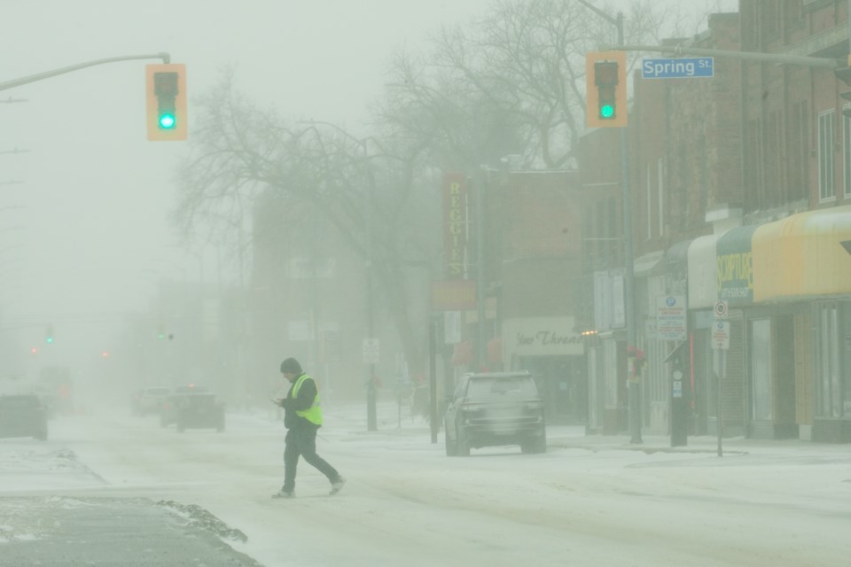
Snow squalls expected Thursday.
What:
Total snowfall accumulations of 10 to 20 cm.
Strong wind gusts of 80 km/h.
Near-zero visibilities in heavy snow and blowing snow.
When:
Thursday morning into Friday morning.
Additional information:
Snow is expected to begin Thursday morning as a low pressure system moves across northern Ontario. In its wake on Thursday afternoon, snow squalls are expected to develop, along with wind gusts up to 80 km/h, which will produce near zero visibilities in heavy snow and blowing snow. Lake effect snow is expected to diminish to flurries Friday morning.
Travel may be hazardous due to sudden changes in the weather. Visibility may be suddenly reduced at times in heavy snow. Surfaces such as highways, roads, walkways and parking lots may become difficult to navigate due to accumulating snow. Road closures are possible.
Please continue to monitor alerts and forecasts issued by Environment Canada. To report severe weather, send an email to [email protected] or tweet reports using #ONStorm.
More details on the alert are available here
*************************