WEATHER ALERT
ENVIRONMENT CANADA
*************************
Issued at 2025-02-08 6:35PM EST by Environment Canada:
Snow squall watch issued for:
Searchmont - Montreal River Harbour - Batchawana Bay, Ont.
Sault Ste. Marie - St. Joseph Island, Ont.
Current details:
Snow squalls are expected to develop Sunday morning.
What:
Total local snowfall accumulations of 15 to 25 cm. Peak snowfall rates of 2 to 5 cm per hour are possible.
Poor to near zero visibility in snow and local blowing snow.
When:
Sunday morning through Monday.
Additional information:
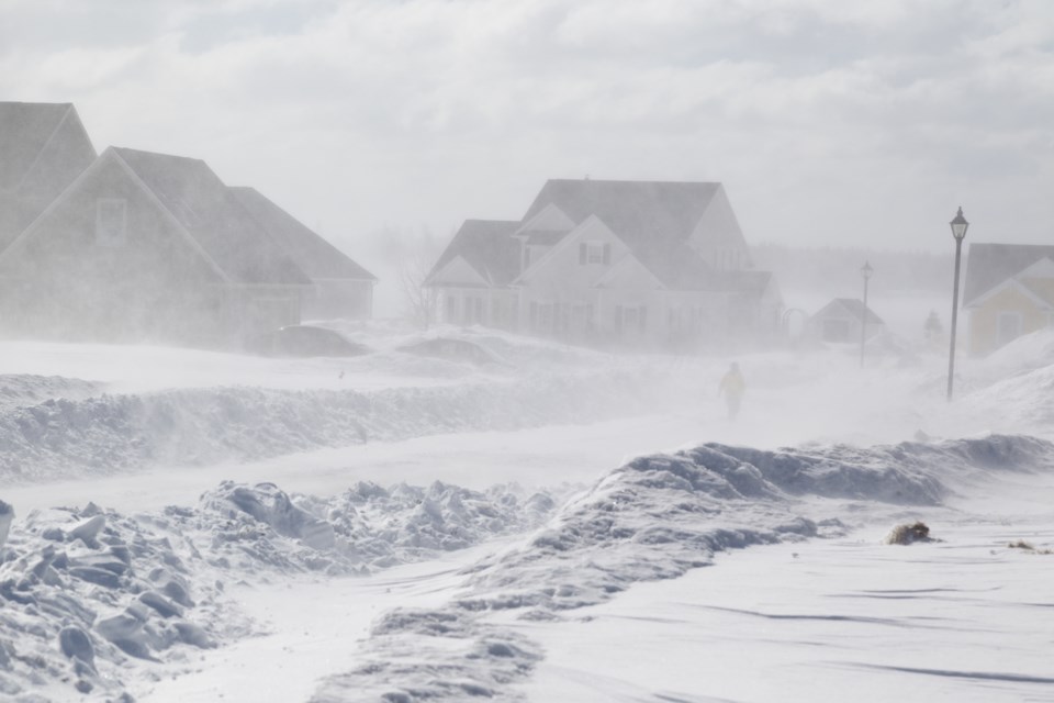
Lake effect snow squalls off Lake Superior are expected to develop Sunday morning as a cooler air mass pushes over the Great Lakes along with westerly winds. There still remains a high degree of uncertainty regarding the exact timing of when the snow squalls will ease or shift out of the region late Monday night or early Tuesday morning.
Snow squalls cause weather conditions to vary considerably; changes from clear skies to heavy snow within just a few kilometres are common. Travel may be hazardous due to sudden changes in the weather. Visibility may be suddenly reduced at times in heavy snow. Surfaces such as highways, roads, walkways and parking lots may become difficult to navigate due to accumulating snow. Road closures are possible.
Please continue to monitor alerts and forecasts issued by Environment Canada. To report severe weather, send an email to [email protected] or tweet reports using #ONStorm.
More details on the alert are available here.
*************************