WEATHER ALERT
ENVIRONMENT CANADA
*************************
Snowfall warning continued for:
- Wawa - White River - Pukaskwa
- Sault Ste. Marie - Superior East
- Elliot Lake - Ranger Lake
- Blind River - Thessalon
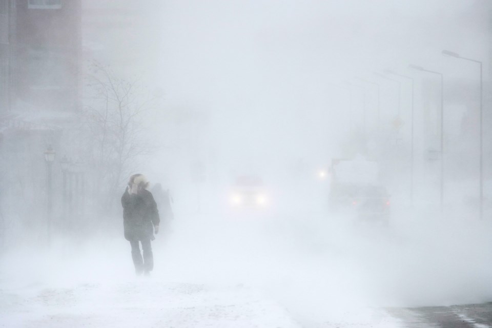
Significant snowfall continues.
What:
Total snowfall accumulations near 15 cm, with higher amounts possible. Peak snowfall rates of 2 to 4 cm per hour. Reduced visibility in heavy snow and blowing snow.
When:
Continuing through this evening.
Additional information:
An Alberta clipper will continue to bring snow, heavy at times, to the area. The snow will taper to light flurries this evening.
Rapidly accumulating snow will make travel difficult. Surfaces such as highways, roads, walkways and parking lots may become difficult to navigate due to accumulating snow.
Be prepared to adjust your driving with changing road conditions.
Please continue to monitor alerts and forecasts issued by Environment Canada. To report severe weather, send an email to [email protected] or post reports on X using #ONStorm.