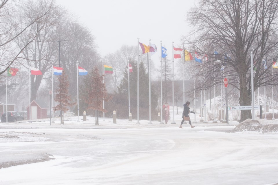
WEATHER ALERT
ENVIRONMENT CANADA
*************************
Snow squall warning continued for:
- Searchmont - Montreal River Harbour - Batchawana Bay
Snow squall warning continued snow squall warning for:
- Sault Ste. Marie - St. Joseph Island
Current details:
Lake effect snow squall event expected to continue into Friday.
Hazards:
Locally heavy snowfall with additional accumulations of 20 to 35 cm possible by Friday morning.
Significantly reduced visibility at times in heavy snow and blowing snow.
Timing:
Continuing into Friday morning. Redevelopment is expected Friday evening.
Discussion:
Lake effect snow squalls will continue today before moving south of the area Friday morning. Snow squalls are expected to redevelop Friday evening with additional snowfall amounts expected.
Road closures are possible, especially over areas that receive multiple snow squall bands.
Snow squalls cause weather conditions to vary considerably; changes from clear skies to heavy snow within just a few kilometres are common. Rapidly accumulating snow could make travel difficult over some locations.
Prepare for quickly changing and deteriorating travel conditions.
Please continue to monitor alerts and forecasts issued by Environment Canada. To report severe weather, send an email to [email protected] or tweet reports using #ONStorm.
*************************
