UPDATE 2:
While the skies threatened for a while this evening, Environment Canada has lifted a rainfall warning for Sault Ste. Marie and St. Joseph Island.
Just before 8 p.m. the weather agency said "significant rainfall is no longer expected".
Issued at 2024-07-29 7:50 p.m. EDT by Environment Canada:
Rainfall warning ended for:
Sault Ste. Marie - St. Joseph Island
Current details:
Significant rainfall is no longer expected.
UPDATE 1:
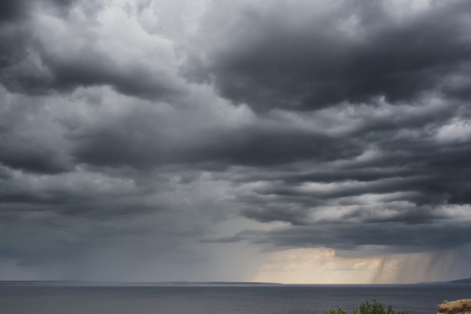
Environment Canada has upgraded a special weather statement to a rainfall warning for the Sault and St. Joseph Island saying slow moving thunderstorms could produce locally heavy rainfall this evening.
The weather agency says there is a chance of local rainfall amounts near 50 mm.
Find more details in the following release:
Issued at 2024-07-29 6:07 p.m. EDT by Environment Canada:
Rainfall warning issued for:
Sault Ste. Marie - St. Joseph Island
Current details:
Rain, at times heavy, is expected.
Hazard:
Local rainfall amounts in excess of 50 mm.
Timing:
This evening.
Discussion:
Slow moving thunderstorms north of the Sault Ste. Marie airport are producing locally heavy rainfall.
For information concerning flooding, please consult your local Conservation Authority or Ontario Ministry of Natural Resources and Forestry office. Visit Ontario.ca/floods for the latest details.
Heavy downpours can cause flash floods and water pooling on roads. Localized flooding in low-lying areas is possible. Heavy rainfall in combination with other weather factors, such as hail, wind and lightning will make outdoor activities unsafe.
If visibility is reduced while driving, slow down, watch for tail lights ahead and be prepared to stop.
Please continue to monitor alerts and forecasts issued by Environment Canada. To report severe weather, send an email to [email protected] or tweet reports using #ONStorm.
EARLIER REPORT:
Environment Canada has issued a special weather statement for the Sault and other northern communities saying slow moving thunderstorms could produce locally heavy rainfall this evening.
The weather agency says there is a chance of local rainfall amounts near 50 mm.
Find more details in the following release:
Issued at 2024-07-29 5:11 p.m. EDT by Environment Canada:
Special weather statement issued for:
Wawa - White River - Pukaskwa
Sault Ste. Marie - Superior East
Special weather statement continued for:
Manitouwadge - Hornepayne
Kapuskasing - Hearst - Smooth Rock Falls
Timmins - Cochrane - Iroquois Falls
Chapleau - Missinaibi Lake
Current details:
Locally heavy rainfall in thunderstorms is possible this evening.
Hazard:
Local rainfall amounts near 50 mm.
Timing:
This evening.
Discussion:
Slow moving thunderstorms could produce locally heavy rainfall this evening. Rainfall warnings may be issued.
For information concerning flooding, please consult your local Conservation Authority or Ontario Ministry of Natural Resources and Forestry office. Visit Ontario.ca/floods for the latest details.
Heavy downpours can cause flash floods and water pooling on roads. Localized flooding in low-lying areas is possible.
Please continue to monitor alerts and forecasts issued by Environment Canada. To report severe weather, send an email to [email protected] or tweet reports using #ONStorm.