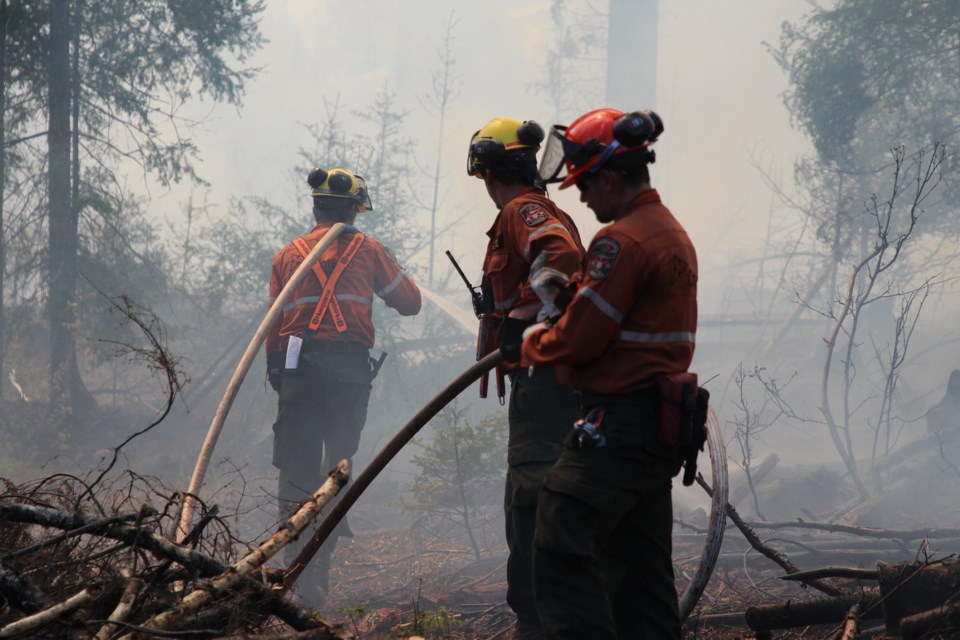
Fire officials are reporting one new wildland fire confirmed by early evening on Sunday.
That makes a total of six active wildland fires in Ontario's northeast fire region, according to Aviation, Forest Fire and Emergency Services.
- Sudbury 14 (SUD014), a 0.1 hectare fire, was confirmed early Sunday evening and is not yet under control. The fire is located northeast of Lake Panache and about 18 km east of Espanola. There is one FireRanger crew committed to this fire.
- Sault Ste. Marie 5 (SAU005) is a 0.7 hectare fire that is under control. This fire is located about 5 km west of Goulais River Provincial Park.
- North Bay 7 (NOR007) is a 0.5 hectare fire that is under control. This fire is located at the west end of Porcupine Lake between Mashkinonje and French River Provincial Parks.
- Sudbury 13 (SUD013) is a 2.8 hectare fire that is under control. This fire is located about 9 km north of the community of Killarney and along the shore just west of the boundary of Killarney Provincial park. There are two FireRanger crews committed to this fire.
- Cochrane 8 (COC008) is a 35 hectare fire that is being observed. This fire is located about 57.5 km northwest of Moosonee.
- Cochrane 9 (COC009) is a 6022 hectare fire that is being observed. This fire is located east of Parson Lake and 8 kilometres west of the Quebec border.
The fire hazard is low to moderate for most of the northeast region, the AFFES said in its daily update.
It said there are pockets of high fire hazard between Walford and Walden, between West Nipissing and Shawanaga, the northern part of Goulais River Provincial Park, and around Moosonee.
The southeastern corner of the northeast region is seeing a low fire hazard, AFFES said.
For the most up-to-date forest fire danger ratings, visit the interactive forest fire information map.
