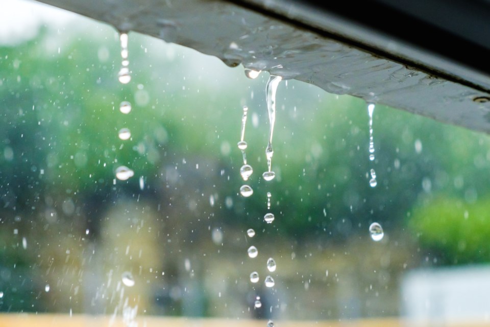
Significant rainfall is possible for the Sault Ste. Marie area on Tuesday according to a special weather statement.
Environment Canada says to expect periods of heavy rain and thunderstorms.
"Multiple rounds of showers and thunderstorms are expected to track along a stalled front, which may lead to a narrow swath of significant rain," the statement said.
That could result in rainfall rates of 30 to 50 mm per hour, with a total amount of 50 to 100 mm.
"It is currently uncertain how showers and thunderstorms in this area will evolve," meteorologists added. "Atmospheric conditions and where the front stalls will be strongly influenced by convection tonight and early Tuesday morning over the US Midwest."
Environnment Canada said rainfall warnings may be issued with short notice, depending on the rapidly changing conditions.
Find the full weather advisory below.
Special weather statement issued for:
Searchmont - Montreal River Harbour - Batchawana Bay, Ont. (048820)
Sault Ste. Marie - St. Joseph Island, Ont. (048830)
Greater Sudbury and vicinity, Ont. (049100)
Elliot Lake - Ranger Lake, Ont. (049200)
Temiskaming Shores - Temagami, Ont. (049720)
North Bay - West Nipissing, Ont. (049800)
Blind River - Thessalon, Ont. (049910)
Espanola - Killarney, Ont. (049920)
Current details:
Periods of heavy rain and thunderstorms are expected to bring the potential for significant rainfall on Tuesday.
Hazards:
Total local rainfall amounts of 50 to 100 mm possible.
Rainfall rates of 30 to 50 mm per hour possible.
Multiple rounds of showers and thunderstorms are expected to track along a stalled front, which may lead to a narrow swath of significant rain. Rainfall warnings may be required and issued with short notice to reflect the rapidly changing conditions.
It is currently uncertain how showers and thunderstorms in this area will evolve. Atmospheric conditions and where the front stalls will be strongly influenced by convection tonight and early Tuesday morning over the US Midwest.
Heavy downpours can cause flash floods and water pooling on roads.
Watch for possible washouts near rivers, creeks and culverts.
For information concerning flooding, please consult your local Conservation Authority or Ontario Ministry of Natural Resources and Forestry office. Visit Ontario.ca/floods for the latest details.
Please continue to monitor alerts and forecasts issued by Environment Canada. To report severe weather, send an email to [email protected] or tweet reports using #ONStorm.
More details on the alert are available here.