WEATHER ALERT
ENVIRONMENT CANADA
*************************
Rainfall warning in effect for:
- Agawa - Lake Superior Park
- Sault Ste. Marie - St. Joseph Island
- Searchmont - Montreal River Harbour - Batchawana Bay
A significant rainfall is expected beginning this afternoon.
Hazards:
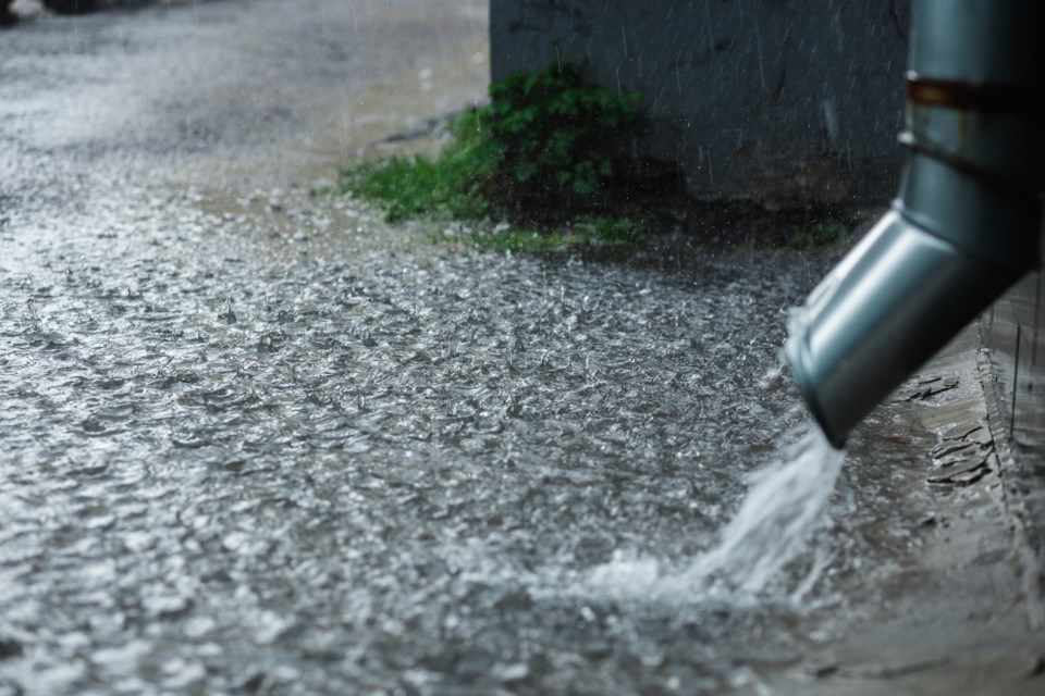
Rainfall amounts of 20 to 30 mm that may lead to localized flooding in low-lying areas.
The frozen ground has a reduced ability to absorb this rainfall.
Timing:
This afternoon into tonight.
Discussion:
Total rainfall amounts of 20 to 30 mm will be possible by the time the rain tapers off tonight or Thursday morning.
The partially frozen ground will have a reduced ability to absorb this rainfall and localized flooding in low-lying areas will be possible.
For information concerning flooding, please consult your local Conservation Authority or Ontario Ministry of Northern Development, Mines, Natural Resources and Forestry office. Visit Ontario.ca/floods for the latest details.
Heavy downpours can cause flash floods and water pooling on roads. Localized flooding in low-lying areas is possible.
Please continue to monitor alerts and forecasts issued by Environment Canada. To report severe weather, send an email to [email protected] or tweet reports using #ONStorm.
*****
Special weather statement in effect for:
- Wawa - Pukaskwa Park
- White River - Dubreuilville
Heavy snowfall expected beginning this afternoon.
Hazards:
Total snowfall amounts of 10 to 15 cm, with locally higher amounts possible.
Significantly reduced visibility in heavy snow at times.
Timing:
Beginning this afternoon and continuing into Thursday.
Impacts:
Hazardous travel due to rapidly accumulating snow.
Significantly reduced visibility in heavy snow.
If rain mixes in with the snow it cloud lead to very slippery road conditions. Motorists are advised to exercise caution.
Discussion:
A low pressure system will affect the area into Thursday. Snow, which could be heavy at times, is expected with this system. Temperatures are expected to be near the freezing mark which may allow rain to mix in with the snow on this afternoon before transitioning to snow tonight.
Snowfall warnings may be needed as the system draws closer, however there still remains much uncertainty regarding precipitation type, and therefore snowfall amounts, at this time.
Please continue to monitor alerts and forecasts issued by Environment Canada. To report severe weather, send an email to [email protected] or tweet reports using #ONStorm.
*************************