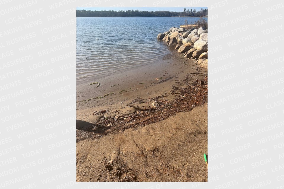
Sault and area residents are reporting low water levels on the St. Marys River and along the North Shore.
The low water levels triggered some discussion on our new social media site SPACES, where multiple readers posted photos.
"Water still down! Anyone else?" wrote Gregory Simpson, a member of our St. Joseph Island space.
The SPACES discussion prompted SooToday to try to find out why the water levels appear so low this year.
“Water supply conditions were drier than average in both the Lake Superior and Lake Michigan-Huron basins in October,” the International Joint Commission states on its website.
The commission deals with issues affecting the many waterways along the Canada - U.S. border.
It says Lake Superior declined by 10 cm (3.9 inches) in October while the seasonal long-term average pattern is for Lake Superior to decline by 4 cm (1.6 inches) in October.
Lakes Michigan and Huron declined by 17 cm (6.7 inches) last month, while the seasonal long-term average pattern is for those lakes to decline by 7 cm (2.8 inches) in October.
At the beginning of November, the lake-wide average water level of Lake Superior was 19 cm (7.5 inches) below the seasonal long-term average and 19 cm (7.5 inches) below the level of a year ago.
At the beginning of this month, the lake-wide average water level of Lake Michigan and Lake Huron was 7 cm (2.8 inches) below the seasonal long-term average and 21 cm (8.3 inches) below the level of a year ago.
If weather and water supply conditions are near average, Lake Superior may decline by approximately 5 cm (2.0 inches) and Lake Michigan-Huron may decline by approximately 6 cm (2.4 inches).
If conditions are much wetter than average, Lake Superior may rise by as much as 2 cm (0.8 inches) and Lake Michigan-Huron may rise by approximately 2 cm (0.8 inches).
If conditions are much drier than average, the water level of Lake Superior may drop by approximately 10 cm (3.9 inches) and Lake Michigan-Huron may decrease by as much as 12 cm (4.7 inches).
“Any low water conditions being observed may be attributed to a localized weather driven effect. Winds in the Great Lakes region can have a significant impact on local water levels, essentially blowing water from one portion of a lake to another," said Todd Ehret, National Oceanic and Atmospheric Administration (NOAA) oceanographer, in an email to SooToday.
"This can create a ‘low water’ condition in one area while raising water levels in another. When the wind changes direction, the water levels will change in response. If this is a localized weather driven condition, it will likely change when the wind and weather changes.”
This would have no lasting detrimental effect on the environment and Sault and Algoma District residents, the NOAA states.
“If this is a weather driven effect, it will likely have minimal effect on the environment, and what effects it has will be short-lived,” Ehret said.
