If you're planning on travelling over the next few days, be advised that our neighbours to the north may be in for a prolonged period of freezing rain, Environment Canada says, as a low pressure system moves over the area on Christmas Day.
A special weather statement has been issued for Wawa, Chapleau and other communities across northeastern Ontario.
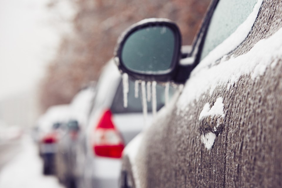
Ice could accumulate to up to 15mm and bring slippery road conditions, the weather agency says, as a "Colorado low" could stick around until Wednesday.
The weather agency notes that this amount of ice buildup can also lead to utility outages.
Here's the full statement from Environment Canada:
Issued at 2023-12-24 4:22 p.m. by Environment Canada:
Special weather statement issued for:
Manitouwadge - Hornepayne
Wawa - White River - Pukaskwa
Timmins - Cochrane - Iroquois Falls
Chapleau - Gogama
Kirkland Lake - Englehart
Current details:
Significant freezing rain expected.
Hazards:
Local ice accretion of up to 15 mm from freezing rain.
Icy and slippery conditions on untreated surfaces.
Timing:
Monday evening through Tuesday, possibly into early Wednesday for some regions.
Discussion:
A Colorado Low is expected to bring a prolonged period of freezing rain to portions of northern Ontario. Significant ice buildup is possible with this freezing rain, which would lead to hazardous driving conditions and utility outages. There is still some uncertainty with the location and ice accretion amounts. Freezing rain warnings will be issued as the event draws nearer.
Please continue to monitor alerts and forecasts issued by Environment Canada. To report severe weather, send an email to [email protected] or tweet reports using #ONStorm.