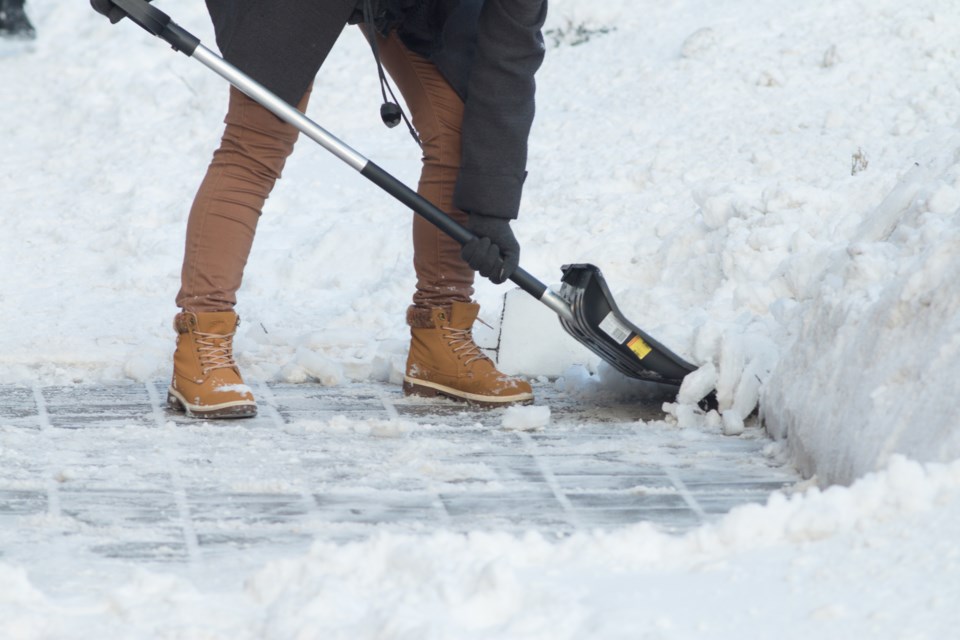
Area plows have a long day ahead as Saturday’s not-so-funny April Fool’s joke of heavy snowfall has shut down nearly all of the city’s services in the Sault and surrounding area.
Environment Canada projected the citywide weather event yesterday after they called for up to 30 cm of snow today.
However, locals may remember the city also declared a significant weather event last weekend when Environment Canada warned of significant snowfall with snow accumulations of 15 to 20 cm.
Those projections really didn’t amount to much more than a bit of snowfall and some light winds last Saturday, and according to SooToday meteorologist Jerry Shields, it’s unsurprising.
“When they’re off even by 50 km in a forecast where the heavy snow is going to hit, it can make a big difference, and last week was a perfect example,” Shields says. “We would have had 20-25 cm if that storm was even 25 or 50 km further north, but it ended up just being a dusting.”
Covering weather patterns from Batchawana to Thessalon, Shields says Environment Canada’s forecast areas in the north are so big that it could be hours of drive time between spots in the same zone.
“The weather can be vastly different from one end to the other,” he says. “It’s the burden they have for forecasting in northern Ontario – their own system has these big monstrous weather sectors.”
Geoff Coulson, a warning preparedness meteorologist from Environment Canada, says forecasters can split up the Sault Ste. Marie – Superior East region into three smaller subregions at their discretion:
- Sault Ste. Marie – St. Joseph Island
- Searchmont – Montreal River Harbour – Batchawana Bay
- Agawa Lake – Superior Park.
Environment Canada put out last weekend’s snowfall warning for Sault Ste. Marie – St. Joseph Island, but a large portion of that subregion, particularly in town, didn’t receive anything near their projections.
“If last weekend’s 15 cm is going to hit St. Joseph Island, they have to put the warning out even though they know it’s not going to be 15 cm in the city or north of the city,” Shields says. “Their own system kind of works against them.”
“It kind of loses the credibility when people look at the warnings and see this happening.”
As of last week, Shields estimates St. Joseph Island has gotten twice as much snow on the ground this year compared to the Sault.
“It’s very unusual – the storms have been running just south of the Sault,” he says. “Sometimes they catch us a little bit, and sometimes they miss totally. Usually, you don’t know until almost the day of the event which way it’s going.”
“My advantage is I’m watching it more closely, and mostly just this area, so when I see a subtle change or a pattern developing, then I can adapt faster than them because they’re looking at the whole province when they’re trying to figure it out.”
Shields has heard rumblings that Environment Canada may plan to adopt a new zoning system similar to ones used by American weather networks, which could provide more accurate forecasting, but Coulson from Environment Canada says he hasn’t heard about a change being implemented anytime soon.
“You want people to pay attention to the warnings, but you want more accurate warnings for the people it’s affecting,” Shields says. “It’s a real challenge.”
Predicting weather patterns, in general, is something Shields says has become increasingly difficult in recent years as the weather pattern ‘norms’ have been happening less often.
“A lot of weather forecasting is based on previous experience and previous weather,” he says. “There seems to be a trend to more extremes with the weather. The cold snaps are colder, the wind events seem to be stronger, and heavier precipitation events seem to be more frequent.”
“As a forecaster, you see a storm coming across, and it looks like 15 to 20 cm, then all of a sudden you have 30 or 40 cm because the system is more intense than it used to be. Generally, there’s been more extreme parameters in the weather because of the battle between hot and cold air.”
Shields notes that the Sault is in the middle of an incredibly unique system and says there are many forecasters who believe we’re in one of the toughest spots in Canada to forecast.
"I've talked to other forecasters, and they say if you can forecast for Sault Ste. Marie, you can forecast anywhere," he says. "We have so much going on here."
As weather patterns and forecast warnings can change at any given time, Shields says it’s important to be aware of the latest information when making plans to leave the house.
“When you’re paying attention to weather warnings or safety in your own decision-making, always make sure you’re getting the latest information,” he says. “Don’t rely on something you heard in the morning if you’re making a decision to do something related to the weather in the afternoon.”
