WEATHER ALERT
ENVIRONMENT CANADA
********************************
Severe thunderstorm warning issued for:
Searchmont - Montreal River Harbour - Batchawana Bay
Sault Ste. Marie - St. Joseph Island
Elliot Lake - Ranger Lake
Blind River - Thessalon
Current details:
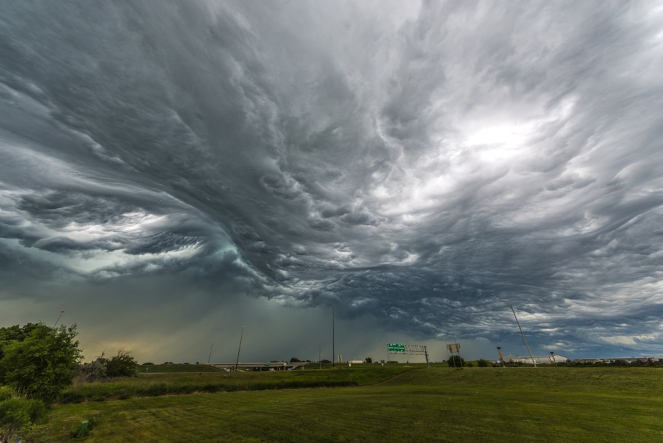
At 2:50 p.m. EDT, Environment Canada meteorologists are tracking a severe thunderstorm capable of producing very strong wind gusts, up to toonie size hail and heavy rain.
This severe thunderstorm is located near Echo Lake, moving east at 60 km/h.
Hazard: Toonie size hail and 90 km/h wind gusts.
Locations impacted include:
Wahbunose Lake, Trotter Lake, Paddy Lake, Lilypad Lake, Echo Lake, Birch Lake, Lonely Lake, Tower Lake, Wilson Lake, Gordon Lake, Rock Lake, Poplar Dale, Havilah, Horner Lake, Bruce Lake, Conacher Lake and Tunnel Lake.
Large hail can damage property and cause injury. Strong wind gusts can toss loose objects, damage weak buildings, break branches off trees and overturn large vehicles.
Lightning kills and injures Canadians every year. Remember, when thunder roars, go indoors!
Emergency Management Ontario recommends that you take cover immediately if threatening weather approaches.
Severe thunderstorm warnings are issued when imminent or occurring thunderstorms are likely to produce or are producing one or more of the following: large hail, damaging winds, torrential rainfall.
Please continue to monitor alerts and forecasts issued by Environment Canada. To report severe weather, send an email to [email protected] or tweet reports using #ONStorm.
For more information: https://www.ontario.ca/page/be-prepared-emergency.
********************************