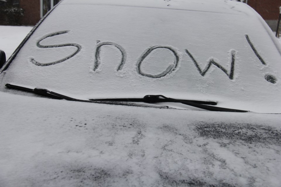
An advisory is in effect for long weekend travellers with reduced visibility expected at times thanks to heavy snow and blowing lake effect snow.
Environment Canada says winds gusting up to 60 km/h could also reduce visibility in blowing snow.
The driving situation should improve by late this evening (Sunday), according to the latest from the weather agency:
Weather advisory continued for:
Sault Ste. Marie - St. Joseph Island
Current details:
Winter weather travel advisory in effect for today and this evening.
Hazards:
Reduced visibility at times in heavy snow and blowing snow.
Total snowfall accumulations of 10 to 15 cm by late this evening.
Timing:
Today into late this evening.
Discussion:
Lake effect flurries will continue today and move south of the area by late this evening. In addition wind gusting up to 60 km/h could reduce visibility in blowing snow.
Travel may be hazardous due to sudden changes in the weather. Surfaces such as highways, roads, walkways and parking lots may become difficult to navigate due to accumulating snow.
Be prepared to adjust your driving with changing road conditions. If visibility is reduced while driving, slow down, watch for tail lights ahead and be prepared to stop.
More details on the alert are available here.