WEATHER ALERT
ENVIRONMENT CANADA
**************************
Weather advisory issued for:
- Sault Ste. Marie - St. Joseph Island, Ont. (048830)
Current details:
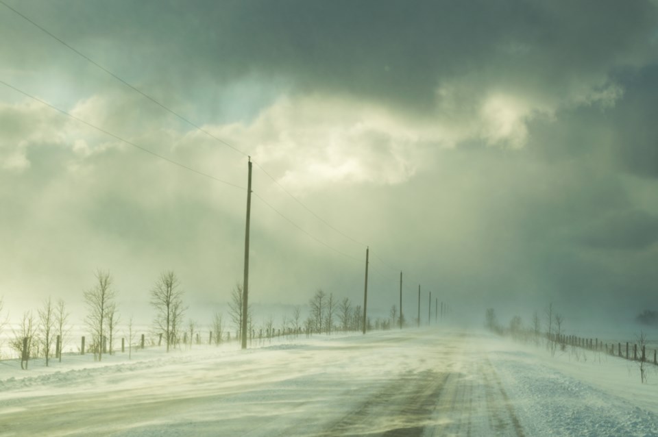
Winter weather travel advisory in effect for tonight.
What:
Locally heavy snowfall with accumulations near 10 cm by Friday morning.
Poor visibility at times in local blowing snow.
When:
This evening through Friday morning, with the heaviest snowfall expected later this evening.
Discussion:
Lake effect snow off Lake Superior will develop this evening and intensify closer to midnight. These snow squall bands may shift frequently, meaning snowfall amounts may be highly variable within the region. Strong wind gusts up to 50 km/h from the west will also lead to reduced visibility in local blowing snow. Lake effect snow will weaken to light flurries Friday morning, before tapering off by early afternoon.
Motorists should expect hazardous winter driving conditions and adjust travel plans accordingly. Surfaces such as highways, roads, walkways and parking lots may become difficult to navigate due to accumulating snow.
Prepare for quickly changing and deteriorating travel conditions.
For road conditions and other traveller information from the Ministry of Transportation, visit https://www.ontario.ca/511, https://www.twitter.com/511Ontario, or call 5-1-1.
Please continue to monitor alerts and forecasts issued by Environment Canada. To report severe weather, send an email to [email protected] or post reports on X using #ONStorm.
More details on the alert are available here.
The latest status and details on all alerts, including alerts that are not part of your subscription, can be found here: https://weather.gc.ca/index_e.html?layers=alert
**************************