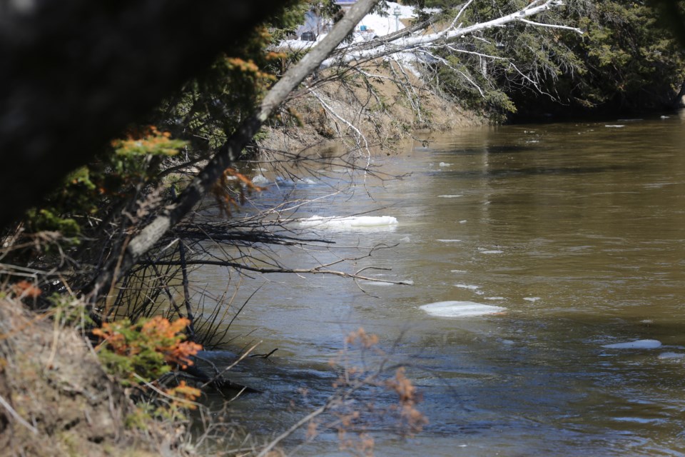
The Ministry of Northern Development, Mines, Natural Resources and Forestry has reissued the flood warning for the Goulais River.
Water levels are now above flood threshold levels and flooding is already occurring in low lying areas.
Residents of Sault Ste. Marie are advised to avoid fast-moving water and to keep updated on water conditions.
For more information, please see the press release included below.
The Ministry of Northern Development, Mines, Natural Resources and Forestry (NDMNRF) - Sault Ste. Marie District is advising area residents that a flood warning remains in effect for the Goulais River.
Residents within the Goulais River watershed are advised that water levels are now above flood threshold levels and that flooding is already occurring in some low lying areas along the river.
Residents of the Sault Ste. Marie District area should keep a close watch on water conditions, regularly check for updated messages and stay away from fastmoving rivers and streams.
The Ministry is closely monitoring the weather and developing watershed conditions. Further updates will be issued as appropriate.
Technical information
Description of Weather System The Environment Canada forecast is predicting cooler weather over the Easter long weekend with daytime highs of 1° to 4°C and overnight lows of -1° to -5°C.
Daytime temperatures will creep back up on Tuesday but with nighttime temperatures remaining below zero degrees. Approximately 5 mm of rain is currently forecast between Monday and Tuesday.
The latest local snow survey for the Goulais River watershed shows a continuing snowpack of 47cm average depth representing approximately 180mm of water equivalent. This water equivalency is well above the annual average for this time of year.
Description of current conditions
Water levels and stream flows across the region are significantly elevated from ongoing spring snow melt and recent precipitation events. Forecasted warm temperatures and precipitation will further accelerate the melting of the snowpack and ice cover on local waterbodies producing additional runoff and increasing levels and flows.
Risks may include significant degradation of ice and fast moving cold water with rapidly changing conditions.
In addition to unsafe ice conditions on area waterbodies there may also be localized flooding in low lying areas with a history of flooding. A close watch on local forecasts and conditions is recommended.
Residents within the Goulais River Watershed are advised that some areas within the flood plain have reached flood critical levels.
Expiry date
This message will be in effect until (or updated before): Friday, April 22 2022, 12:00 a.m.
LEARN MORE
The Surface Water Monitoring Centre public webpage www.ontario.ca/flooding
Environment Canada bulletins: www.weather.gc.ca/
A close watch on local conditions and weather forecasts from Environment Canada is recommended.
